The Federal Government will invest $12 million in a two-year program exploring the use of positioning technology in Australian industries including aviation, maritime, rail and road.
The funding will be used to test instant, accurate and reliable positioning technology that could provide future safety, productivity, efficiency and environmental benefits across transport, agriculture, construction, and resources, among others.
The two-year project will test satellite-based augmentation system (SBAS) technology that has the potential to improve positioning accuracy in Australia to less than five centimetres. Currently, positioning in Australia is usually accurate to five to 10m.
Research has shown that the wide-spread adoption of improved positioning technology has the potential to generate upwards of $73 billion of value to Australia by 2030.
Federal Minister for Infrastructure and Transport, Darren Chester, said the program could test the potential of SBAS technology in the four transport sectors – aviation, maritime, rail and road.
“SBAS utilises space-based and ground-based infrastructure to improve and augment the accuracy, integrity and availability of basic Global Navigation Satellite System (GNSS) signals, such as those currently provided by the USA Global Positioning System (GPS),” Mr Chester said.
“The future use of SBAS technology was strongly supported by the aviation industry to assist in high accuracy GPS-dependent aircraft navigation.
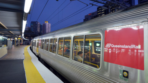
“Positioning data can also be used in a range of other transport applications including maritime navigation, automated train management systems and in the future, driverless and connected cars.”
Minister for Resources and Northern Australia, Matt Canavan, said access to more accurate data about the Australian landscape would also help unlock the potential of the North.
“This technology has potential uses in a range of sectors, including agriculture and mining, which have always played an important role in our economy, and will also be at the heart of future growth in Northern Australia,” Mr Canavan said.
“Access to this type of technology can help industry and government make informed decisions about future investments.”
The SBAS test-bed is Australia’s first step towards joining countries such as the US, Russia, India, Japan and many across Europe in investing in SBAS technology and capitalising on the link between precise positioning, productivity and innovation.
In early 2018, Geoscience Australia with the Collaborative Research Centre for Spatial Information (CRCSI) will call for organisations from a number of industries including agriculture, aviation, construction, mining, maritime, rail, road, spatial, and utilities to participate in the test-bed.